Skyeton Golovna 2

RAYBIRD

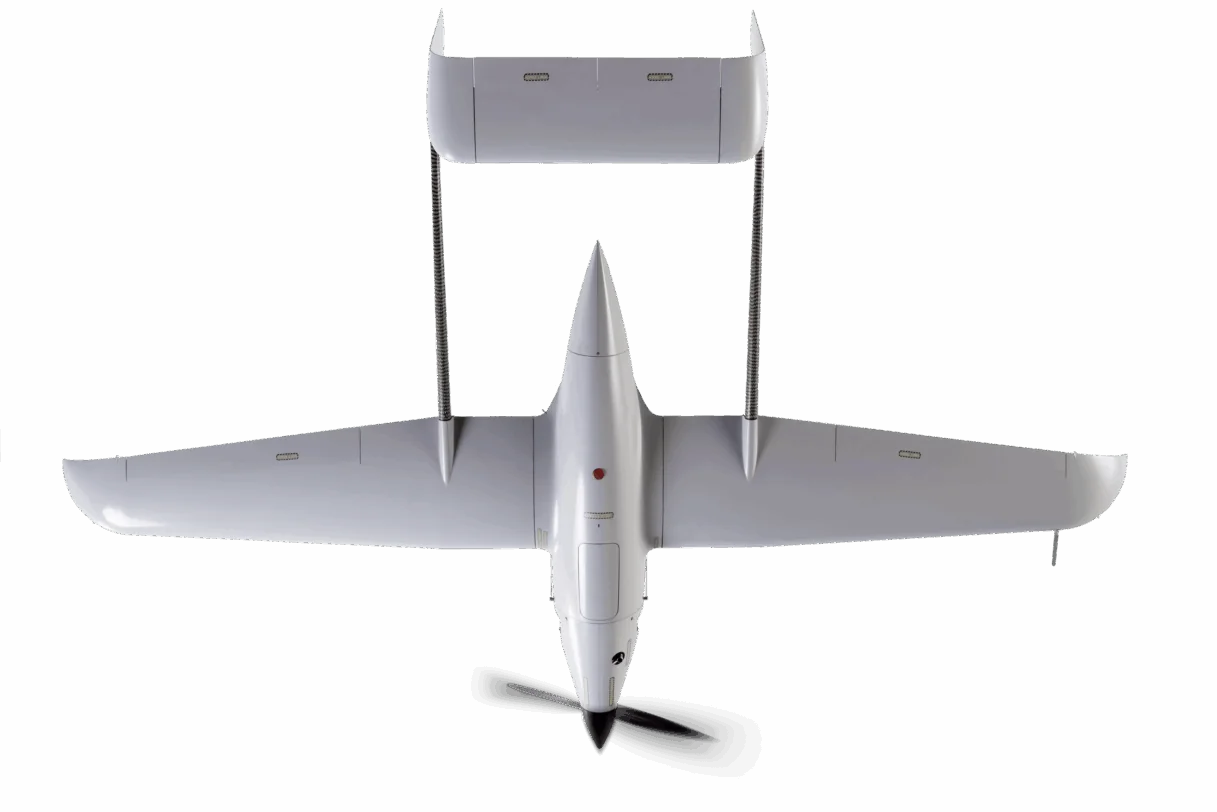
Small Сlass UAV for Big Missions
video scaled
Specifications

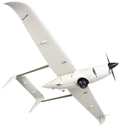
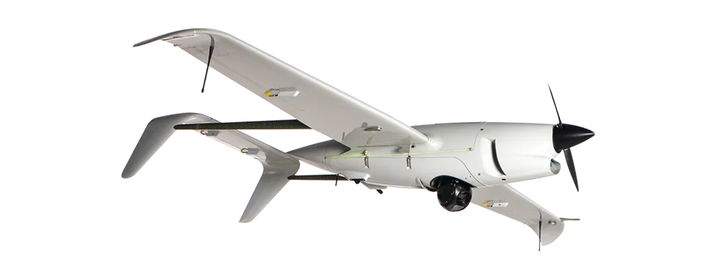
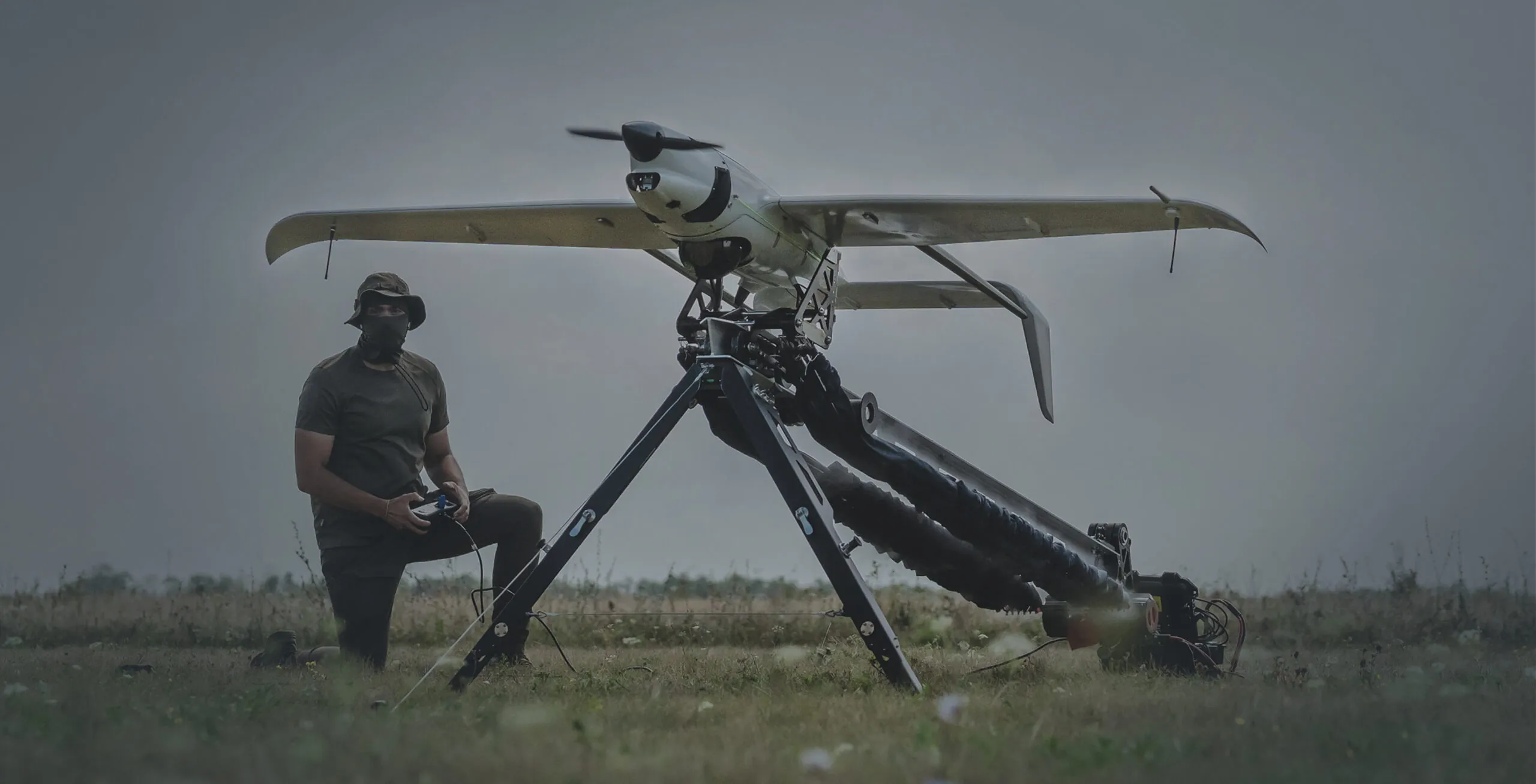
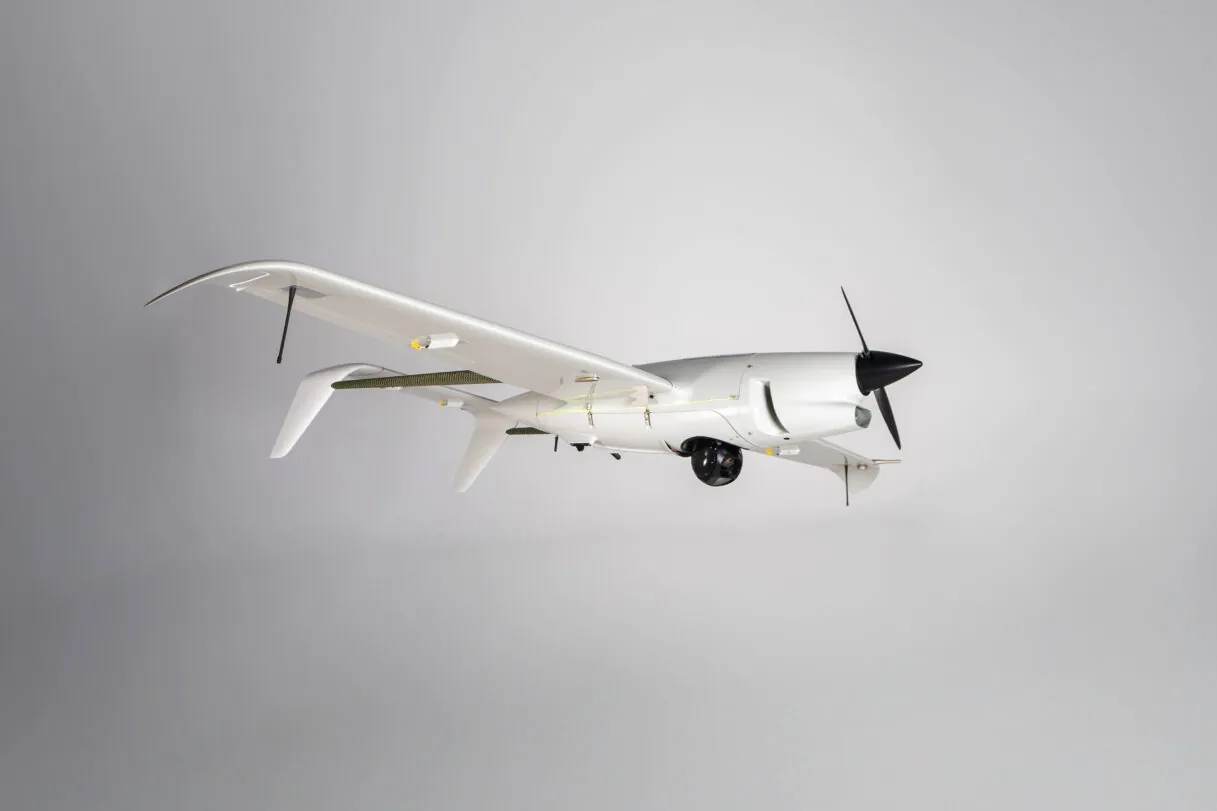
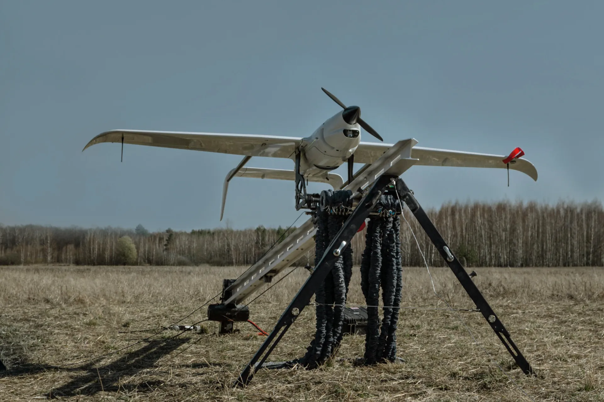
Raybird is a versatile fixed-wing unmanned aerial system
NATO Class I, U.S. DoD Group 2

350,000+ hours — flown in combat missions
layer 1 1
Flight Duration
28+ hours
layer 1 4
Wingspan
2.96 – 4.2 m
layer 1 5
MTOW
23 kg
layer 1 3
Maximum Flight Range
2,500 km
layer 1
Maximum Flight Altitude
5,500 m
layer 1 6
Data Link Range
220+ km
Show More
raybirdsite scaled2 1
vytryvalist 2
Endurance
With 28 hours of endurance, Raybird accomplishes missions beyond the reach of others — deep reconnaissance, extended surveillance, and continuous target tracking. It has logged over 350,000 hours in real-world operations
efectivnist 3
Efficiency
A small tactical system performing at the level of medium+ class UAVs
zagartovaniy
War-Hardened
The system is mission-ready in snow, rain, wind, and dust. It launches from any surface and operates where others can’t
multizadachnost 1
Versatile Platform
A versatile platform enabling payload swaps in under one minute. From video and photo capture to SAR — one system, many roles
stiykist 1
Best-in-class Resilience
The system operates reliably in extreme conditions. Each system is designed for ~200 missions — it significantly reduces the cost per operation
shvidkist
Speed and Ease of Use
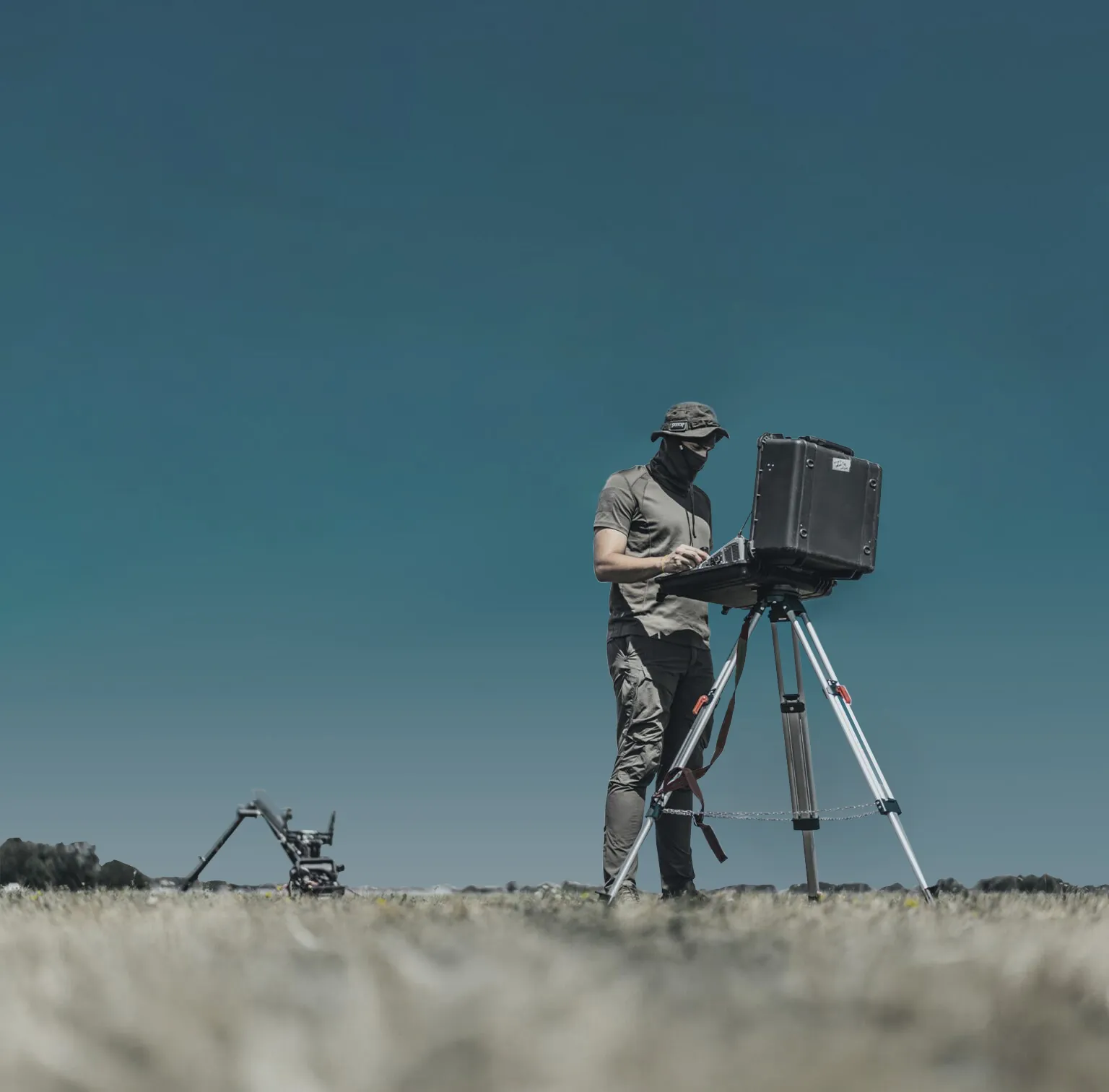
Tool-free assembly in under 25 minutes. Easy operation thanks to an automated system
recon
vony razom ev7 nn6i3wy unsplash
frequency
111222vv04078
road
willian justen de vasconcellos qtdfs5auaws unsplash
electro3 1 scaled
payton mcdonald pwnsqhnonjw unsplash 1
joshua kettle mlgasbghlmo unsplash
wildfires 1
01
Deep Reconnaissance
02
Target Acquisition and Precision Fire Control
03
Radio Frequency Reconnaissance
04
Extend Data Transmission
05
Border Control
06
Maritime Surveillance
07
Power Line Inspection
08
Pipeline Monitoring
09
Road Inspection
10
Wildfire Prevention and Response
Deep Reconnaissance
Intelligence missions deep behind enemy lines. High-resolution video. Compact form = low detectability by air defense systems
Learn More
Target Acquisition and Precision Fire Control
Provides accurate coordinates for artillery systems (Caesar, Krab), adjusts fire missions, and confirms target elimination. Interacts with HIMARS and other long-range systems
Learn More
Radio Frequency Reconnaissance
Raybird uses radio frequency payloads to detect and identify enemy systems
Learn More
Extend Data Transmission
Data Link Extension by 50–80 km
Learn More
Border Control
24/7 Border Patrol. Target Detection and Tracking
Learn More
Maritime Surveillance
Round-the-clock aerial support for maritime operations. Detection of illegal activities such as drug trafficking and unauthorized fishing. Identification and monitoring of pollution
Learn More
Power Line Inspection
Performing large-scale aerial video of power line routes (M 1:1000 - 1:10000). Detection of insulator damage on poles. Measurement of wire and cable attachment heights on transmission towers. Identification and monitoring of landslide and karst-prone areas, including analysis of their development dynamics
Learn More
Pipeline Monitoring
High-resolution video of pipelines, auxiliary equipment, and surrounding infrastructure. Infrared imaging to detect pipeline damage and potential oil or gas leak areas. 2D orthomosaics and 3D models of pipelines and the surrounding environment. HD video recording for real-time visual monitoring and condition assessment of the pipeline
Learn More
Road Inspection
Rapid road surface diagnostics and traffic flow monitoring. Accurate detection of road surface damage type and severity. Monitoring of bridges and other civil engineering structures. Early detection of hazardous geotechnical phenomena such as suffosion, karst activity, and flooding. Real-time data collection during emergency situations
Learn More
Wildfire Prevention and Response
Aerial reconnaissance for wildfire prevention and illegal logging detection. Coordination of firefighting and deforestation response operations. Marking hazardous zones to support firefighters in planning and coordination. Surveying disaster-affected areas
Learn More
Raybird Flight

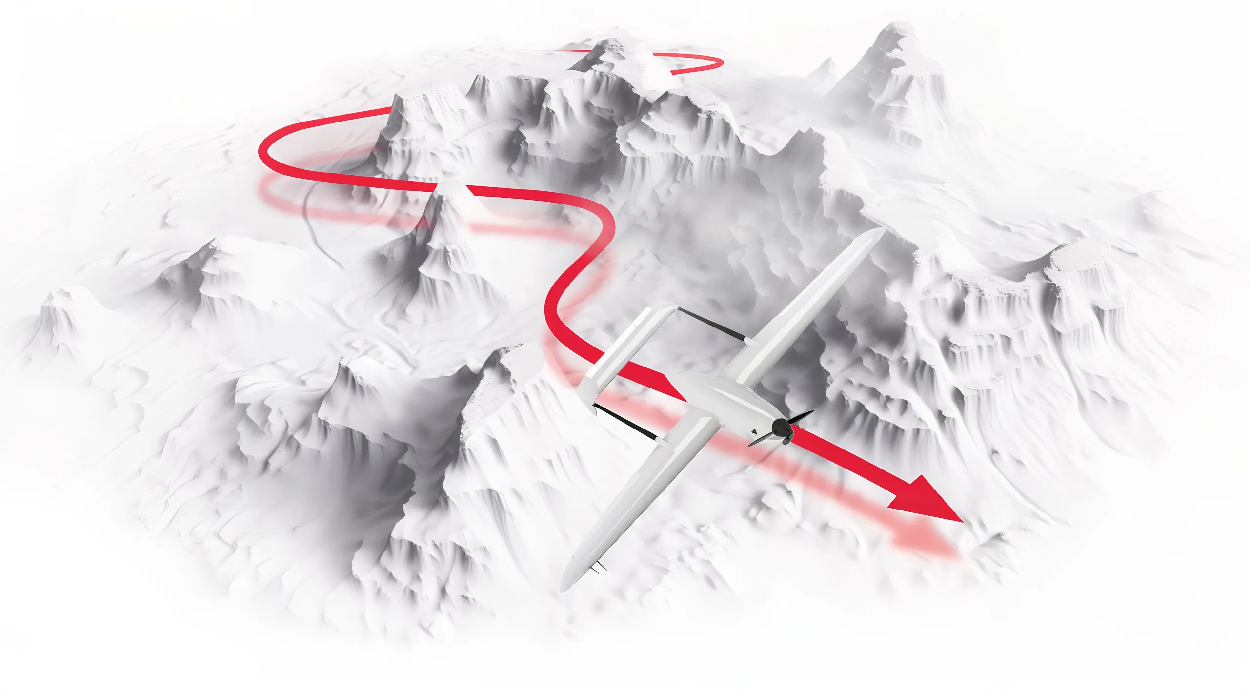
Raybird is an autonomous unmanned aerial system designed for complex missions with minimal operator involvement. Even in manual mode, most control functions are handled by the autopilot, reducing the risk of human error and ensuring stable flight

The system is engineered to operate in GPS-denied environments where navigation signals are lost or actively jammed. If communication with the ground station is interrupted, Raybird continues its mission along a preprogrammed route and returns to base using an autonomous navigation system resistant to interference and extreme conditions
flyraybird 1
parashut
Takeoff
and Landing System

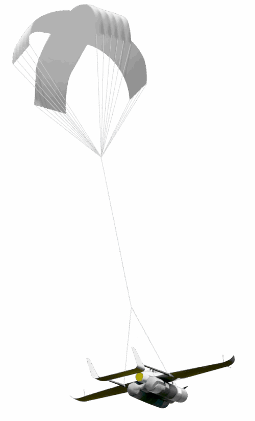
Raybird is equipped with an automated landing system that operates in both standard and emergency scenarios. The landing process relies on a parachute and a pneumatic airbag

During descent, a mechanism flips the aircraft, allowing it to land upside-down onto the airbag, protecting both the payload and the system itself

The system autonomously determines the optimal moment to deploy the parachute and activate the airbag. Safety features prevent accidental or unauthorized deployment
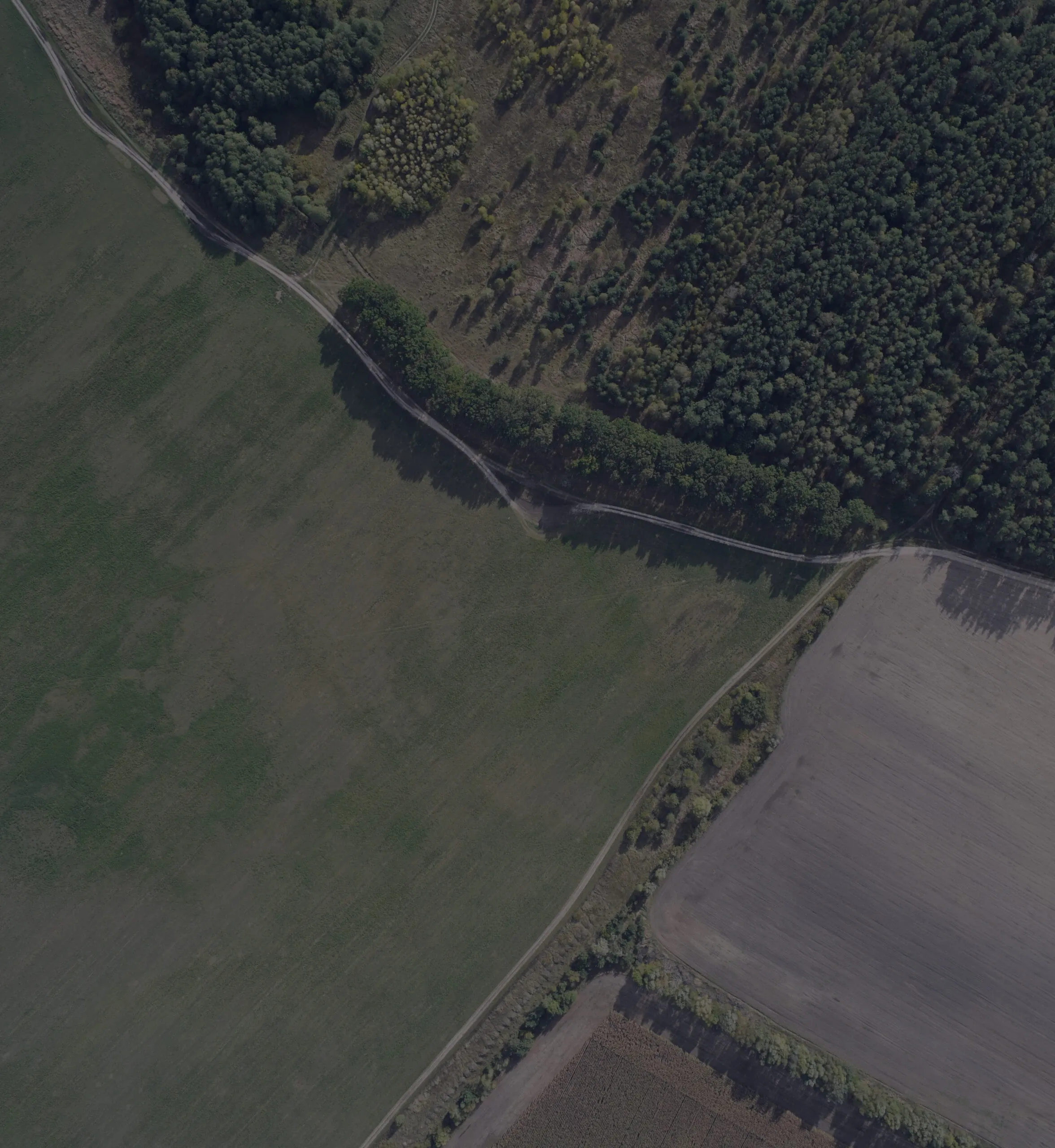
landing
Payload Types
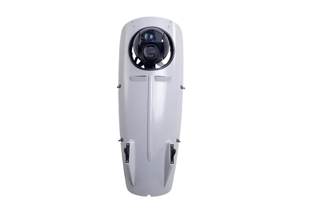
Gyro-Stabilized Multisensor Gіmbals
Aerial Photo Cameras
Synthetic Aperture Radar (SAR)
Radio Frequency Locator
laser designator2
photo1
sar.png
rf locator.png
  • Medium-Wave Infrared (MWIR) and Electro-Optical (EO) imaging
  • 4-axis stabilization
  • Dual simultaneous H.265 video streams provide situational awareness and detailed target view
  • Built-in video processing, including image stabilization and target tracking
  • Half the weight and power consumption compared to industry standard
  • Resolution: up to 11,664 × 8,750 pixels
  • Pixel Size: up to 5.3 µm
  • Frame Rate: up to 3 fps
  • Operating Temperature Range: -10°C to +40°C
  • Resolution: from 0.3 to 10 meters
  • Maximum Imaging Range: up to 20 km
  • Moving Target Detection: up to 15 km
  • Operating Altitude: up to 5,000 meters
  • Weight: 4 kg
  • Effective triangulation of enemy electronic systems at distances over 25 km
01
Gyro-Stabilized Multisensor Gіmbals
02
Aerial Photo Cameras
03
SAR
04
Radio Frequency Locator
Field
1raybird vid sverhy propeller 1 – kopiya scaled
High-End Specifications
Raybird’s flight range exceeds that of medium-class UAVs (up to 600 kg).
Raybird can stay airborne for over 28 hours without refueling
The gasoline-powered Raybird model reaches altitudes of 5,500+ meters, while the electric version is currently capable of flying above 10,000 meters
Raybird’s data link range currently exceeds 220 km
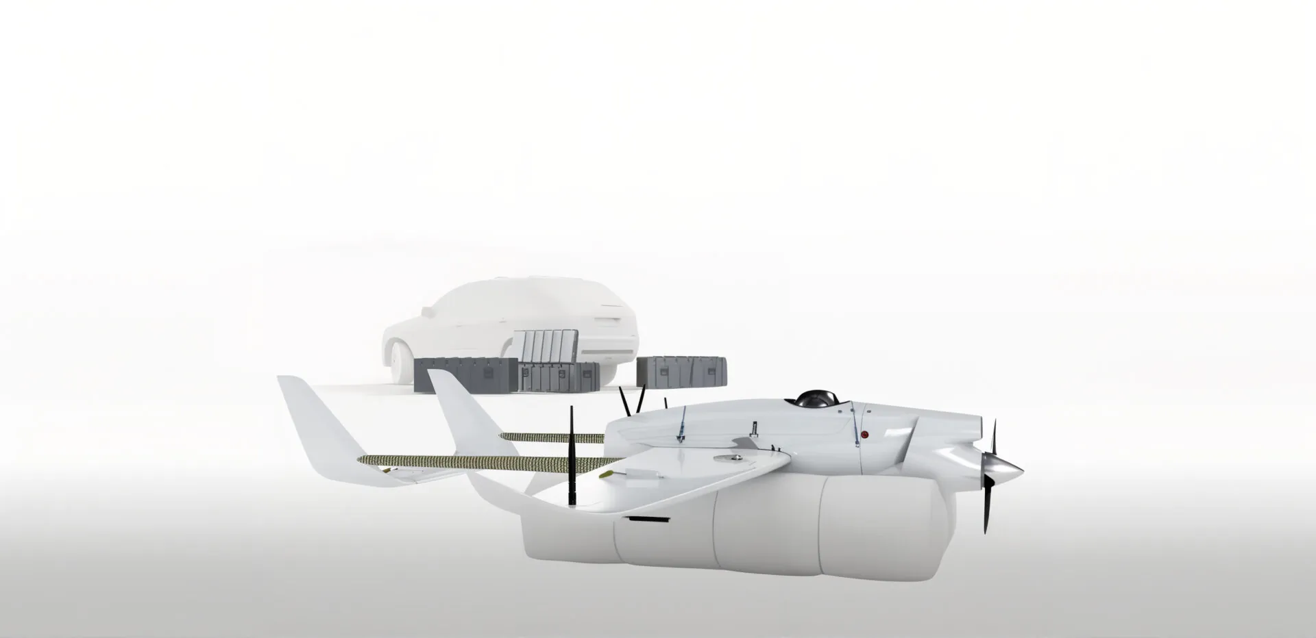
Raybird’s modular system allows for payload hot-swap in under one minute. Payload type can be adjusted depending on the mission
sameclas
Small UAVs (up to 25 kg)
120 km
12 hours
2000/span> m
50 km
3 kg
rb3 6 rakurs r1 14012019 2
Raybird UAV (23 kg)
2500 km
28 hours
5500 m
220 km
10 kg
higherclassnew
Class II UAVs (up to 600 kg)
1500 km
27 hours
8000 m
220 km
150 kg
01
Range
02
Flight Time
03
Altitude
04
Data Link Range
05
Payload
Colorback 1536x1512
image
systema 1 scaled – kopiya
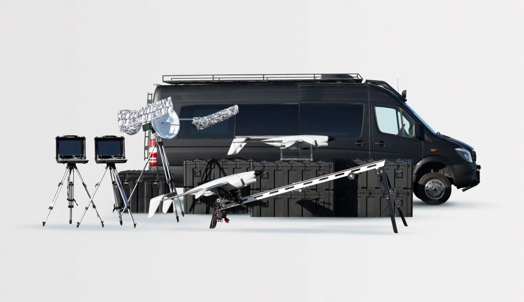
System
Raybird UAV
raybird 1024x404 72inch 1
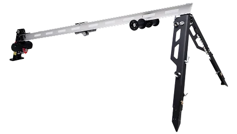
Launch System (Catapult)
image 2
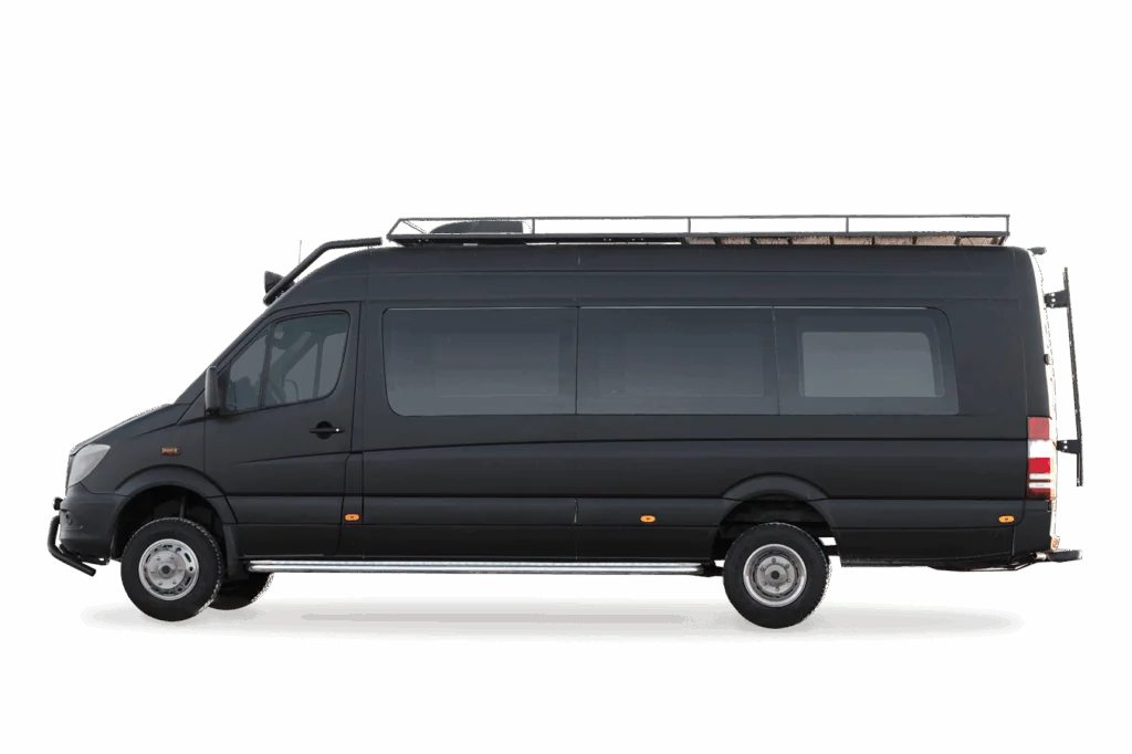
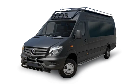
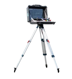
Mobile Ground Control Station
mashina 33
mashina 1 1
Antenna System
antena 235x308
Payload
payloads
Ground Control Station (GCS)
nazemka 234x256px
Communication
dsc 0864 2 removebg preview
Power Bank
dsc 0864 3 removebg preview
Transport Cases
box
box2
Footer (1)

Request Presentation


    group 1
    Privacy Overview

    This website uses cookies so that we can provide you with the best user experience possible. Cookie information is stored in your browser and performs functions such as recognising you when you return to our website and helping our team to understand which sections of the website you find most interesting and useful.