Wildfire Prevention and Response
Airborne Support Against Fire
Raybird conducts aerial reconnaissance of forest fires — both for early ignition detection and coordination of rescue operations. It helps identify hot spots, assess the scale of fire spread, and transmit real-time data to firefighting teams. This is especially valuable in hard-to-reach areas where ground inspection is impossible or too slow. Raybird is also useful after the event — for inspecting damaged infrastructure or the aftermath of natural disasters
Frame 001
Screenshot 2025 10 18 at 21.34.14
Request presentation
Fire Doesn’t Wait — Neither Does Raybird

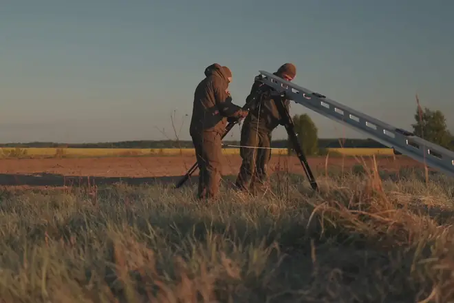
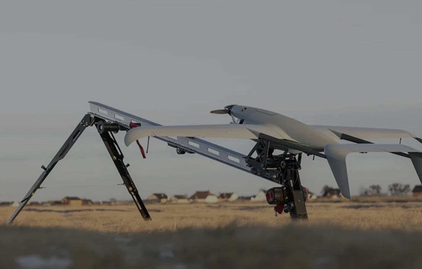
Raybird offers a fast, efficient solution to the challenges of wildfire prevention. Traditional methods are limited by terrain, visibility, and response time. Raybird overcomes these with rapid deployment, real-time aerial surveillance, and long-endurance flight

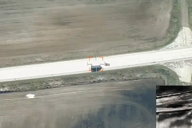
Equipped with thermal and high-resolution cameras, Raybird provides immediate situational awareness, tracks fire spread, identifies hotspots, and guides response teams. It can be airborne within minutes and operate in areas inaccessible to ground crews

Beyond detection, Raybird can relay video signals between aircraft. If one UAV loses direct contact with the control station, another Raybird can forward the video feed, maintaining a stable connection over distances of more than 200 kilometers

Compact, reliable, and capable of autonomous missions, Raybird strengthens wildfire response through faster intelligence and broader coverage, helping teams act earlier, safer, and more effectively

group 1
Privacy Overview

This website uses cookies so that we can provide you with the best user experience possible. Cookie information is stored in your browser and performs functions such as recognising you when you return to our website and helping our team to understand which sections of the website you find most interesting and useful.